
Product Build 18 / 19
VaayuNetra: making invisible emissions visible.
Satellite AI for landfill methane.
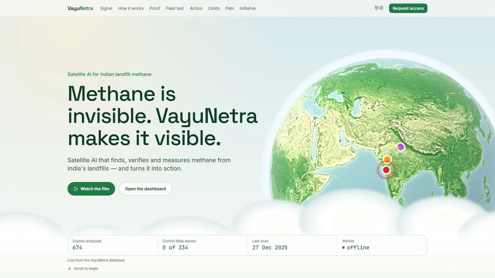
Explore the ProjectAboutVaayuNetra is an AI-powered environmental monitoring platform that screens Indian landfill sites for potential methane emissions using freely available Sentinel-2 satellite imagery. It combines satellite methane retrieval, deep-learning segmentation, atmospheric physics and geospatial evidence to show environmental teams where to investigate next.
- Client
- VaayuNetra
- Role
- AI engineering & geospatial intelligence
- Team
- Ishwra with technical partner Jiyad Hussain
Project overview
From satellite observation to environmental intelligence.
- Project
- VaayuNetra
- Industry
- Climate technology, environmental monitoring, government and public sector
- Services
- AI engineering, satellite data analytics, geospatial intelligence, environmental technology
- Team
- Ishwra, with technical partner Jiyad Hussain (Amity University, Noida)
- Clients
- Not disclosed (confidential)
- Context
- Built as an entry for the Net Zero AI Architecture hackathon
- Sites
- Ghazipur, Bhalswa, Okhla, Deonar and Pirana landfills
- Technology
- Python, PyTorch, U-Net with ResNet-50, Google Earth Engine, Sentinel-2, ERA5-Land, Next.js 15, TypeScript, Supabase, PostgreSQL, PostGIS, Vercel
On each new satellite pass, the system estimates potential methane signals, checks them through a physics-based quality gate, estimates emissions with uncertainty and builds evidence packages to guide investigation.
The challenge
Landfill methane is hard to monitor consistently.
Landfills release methane from scattered, changing sources. Field measurement is resource-intensive, and satellite readings are disturbed by the atmosphere, surface changes and the limits of the sensor.
Visibility
Teams need a scalable way to screen sites without relying only on manual inspection.
Signal quality
Background variation and surface changes can look like methane; a model prediction alone is not evidence.
Actionability
A detection is only useful with a location, an estimate with uncertainty, evidence and a next step.
The aim: use satellite data to prioritise investigation, not to replace field measurement or to claim every signal is confirmed methane.
Objectives & strategy
Machine learning, atmospheric physics and operations, together.
- Step 01
Screen observations
Sentinel-2 imagery for each site, with ERA5-Land wind data.
- Step 02
Retrieve methane signals
Multi-band, multi-pass (MBMP) retrieval finds candidate signals.
- Step 03
Detect plumes
A U-Net with a ResNet-50 encoder (SSL4EO-S12 pre-training) reads 17 input channels.
- Step 04
Apply a physics gate
Detections sorted into methane-confident, probable and rejected tiers.
- Step 05
Estimate with uncertainty
Integrated mass enhancement and wind calibration give kg per hour, with ranges.
- Step 06
Turn analysis into action
Scans, evidence, plume shapes and reports stored and served through a dashboard, alerts and site dossiers.
It is a two-tier system: Sentinel-2 screens broadly, and important detections go on to higher-confidence satellites or ground checks.
What we delivered
An integrated AI and geospatial monitoring workflow.
Satellite data pipeline
A Python worker processes Sentinel-2 passes and ERA5-Land wind through Google Earth Engine, with caching and retries.
Deep-learning screening
U-Net segmentation over Sentinel-2 bands and MBMP-derived features scores possible plume regions.
Physics-based quality control
A separate gate separates probable methane from surface-change artefacts.
Estimates and evidence
Emission estimates with uncertainty, evidence images, WGS84 plume GeoJSON and PDF site dossiers.
Geospatial dashboard
A Next.js app in English and Hindi, with role-aware access and row-level security in Supabase.
Monitoring and alerts
Background jobs watch for new imagery; email alerts and monthly PDF reports go to configured recipients.
Results & impact
Measured model performance and an India field test, as documented.
- 0.759
- ROC AUC on the held-out benchmark (classic MBMP: 0.513)
- 0.779
- precision at the operating threshold (MBMP: 0.602)
- 0.312
- plume-outline pixel IoU (MBMP: 0.077)
- 674
- satellite scenes in the India field test, Jan 2024 to Dec 2025 (340 landfill, 334 control)
- 14 / 0
- landfill flags against control flags at the initial threshold
The 14 flags were sorted into one T1 event, two T2 events and eleven T3 detections rejected as surface changes. The T1 event at Deonar on 6 January 2025 was estimated at about 20.2 tonnes per hour (68% range 15.1 to 25.0), unconfirmed and queued for a hyperspectral check.
These are screening and engineering results, not confirmed methane abatement. Satellite estimates must be confirmed by a hyperspectral satellite, a gas-imaging drone or a ground survey before enforcement or carbon crediting.
Quick answers
VaayuNetra, in brief.
Something we did not cover? Ask us directly and we will reply within 24 hours.
What did Ishwra do for VaayuNetra?
VaayuNetra is an AI-powered environmental monitoring platform that screens Indian landfill sites for potential methane emissions using freely available Sentinel-2 satellite imagery. It combines satellite methane retrieval, deep-learning segmentation, atmospheric physics and geospatial evidence to show environmental teams where to investigate next.
Which industry is VaayuNetra in?
Climate technology & environmental monitoring. It is part of our AI & SaaS Products work.
Does VaayuNetra confirm methane leaks?
No. It screens and prioritises. Every satellite estimate must be confirmed by a hyperspectral satellite, a gas-imaging drone or a ground survey before enforcement or carbon crediting.
Can Ishwra do a similar project for my business?
Yes. This project used our AI Integration & Automation, Custom Software & Mobile Apps services. Tell us about your business through Discuss a Project and we reply within 24 hours.
Related capabilities & projects
View all projectsAI Integration & Automation
WhatsApp bots and workflows that answer customers without retyping.
Custom Software & Mobile Apps
Web apps, back ends, dashboards and APIs built around your workflow.
AI & SaaS Products
What we build for this sector, with its other case studies.
ArcVisual
AI that turns research papers into visual explainers